
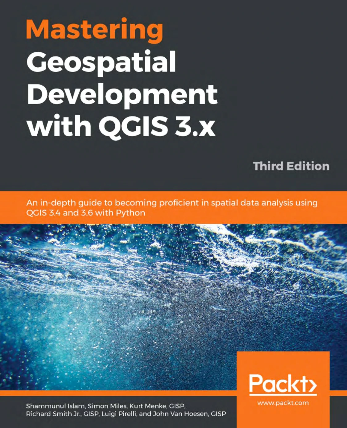
Mastering Geospatial Development with QGIS 3.x, Third Edition
Original price was: $5.00.$2.50Current price is: $2.50.

Shammunul Islam
Product Specs:
- File Type: PDF
- File Size: 9.5 MB
- Book Language: English
- Total Page Count: 453
- Instant Download
A QGIS Guide Built for Deeper Geospatial Work 🗺️
QGIS has become a cornerstone of open-source geospatial analysis, and Mastering Geospatial Development with QGIS 3.x, Third Edition is aimed at readers who want to move past basic map viewing. The book works with QGIS 3.4 and 3.6 and brings Python into the geospatial workflow, giving analysts and developers a structured route through desktop tools, data preparation, styling, and spatial databases.
What the Third Edition Covers
The opening section refreshes the QGIS environment: installation, data loading, coordinate reference systems, table joins, editing, map composition, plugins, and custom variables. From there, the book digs into raster and vector styling, including color ramp management, singleband and multiband raster rendering, categorized and rule-based vector styles, heatmaps, 2.5D styling, diagrams, and layer rendering options. The material is practical and detailed, with an emphasis on understanding how QGIS tools fit together rather than treating each button in isolation.
Spatial Databases and Vector Processing 📐
Later chapters turn to spatial databases and data preparation. Readers encounter GeoPackage workflows, table management, SQL queries, spatial views, vector merging, geometry conversion, polygon centroids, Voronoi polygons, Delaunay triangulation, node extraction, simplification, densification, and multipart-to-singlepart conversion. These are the kinds of tasks that show up repeatedly in real GIS projects, and the book treats them as part of a coherent geospatial development skill set.
Python in the Geospatial Workflow 🐍
Python is not an afterthought here—the subtitle explicitly frames the book around QGIS 3.4 and 3.6 with Python. That makes the title relevant to readers who want to automate analysis, extend QGIS, or connect desktop work with repeatable scripts. The combination of QGIS operations and Python-oriented development gives the book a broader reach than a pure interface manual.
Who Will Get the Most From It
This third edition is best suited to GIS analysts, developers, students, and researchers who already have some grounding in spatial data or programming and want to become more proficient with QGIS. It can serve as a structured course companion, a project reference, or a way to refresh specific QGIS 3.x techniques. Complete beginners may find the pace demanding, but readers with basic GIS knowledge will recognize the workflows as relevant to professional practice.
Why the Edition Still Matters
QGIS 3.4 and 3.6 are older releases now, yet the underlying lessons about styling, spatial databases, vector processing, and Python-assisted analysis remain useful for understanding later QGIS 3.x versions. For anyone maintaining legacy projects or studying how QGIS handles geospatial data at a deeper level, this edition offers a substantial, version-specific reference.
Inside the Digital Delights Edition
As a digital ebook, this technical guide is easy to search, annotate, and keep close while you work in QGIS. The format suits a book of this size: jump to a styling technique, a database task, or a processing workflow without losing your place in the wider progression. If you want a practical QGIS reference that goes beyond surface-level tutorials, this edition is a strong addition to your geospatial library.
Additional Book Details
Book specifications and digital file information
User Reviews
Be the first to review “Mastering Geospatial Development with QGIS 3.x, Third Edition”
You must be logged in to post a review.
Original price was: $5.00.$2.50Current price is: $2.50.
There are no reviews yet.